


Mount Edgcumbe,
Maker, Cornwall
Grade1 Registered park and Garden (NHLE: 1000134); Grade II* (NHLE: 1161267; 1329142; 1329144; 1140616); Grade II (1160959; 1140654; 1161048; 1140620; 1140650; 1161070; 1161107; 1161148; 1329118; 1329119; 1310246; 1140651; 1140652; 1140615; 1161281; 1140629; 1140623; 1140626; 1161293; 1310226; 1140621; 1140614; 140622; 1161255; 1161325; 1161361; 1329140; 1310044; 1140625; 1140617; 1160601; 131009; 11611158; 1329143; 1140618; 1140619; 1140624; 1140627; 1140628; 1140655; 1161339; 1329141; 1310617; 1310696); Scheduled Monument (NHLE: 1004496; 1004497)
Historic Landscape Appraisal, Building Appraisal, Archive Research
OASIS: thejesso1-316606
The JESSOP Consultancy formed part of a multi-disciplinary team to prepare a Parkland Management Plan for the Mount Edgcumbe Estate on behalf of Plymouth County Council.
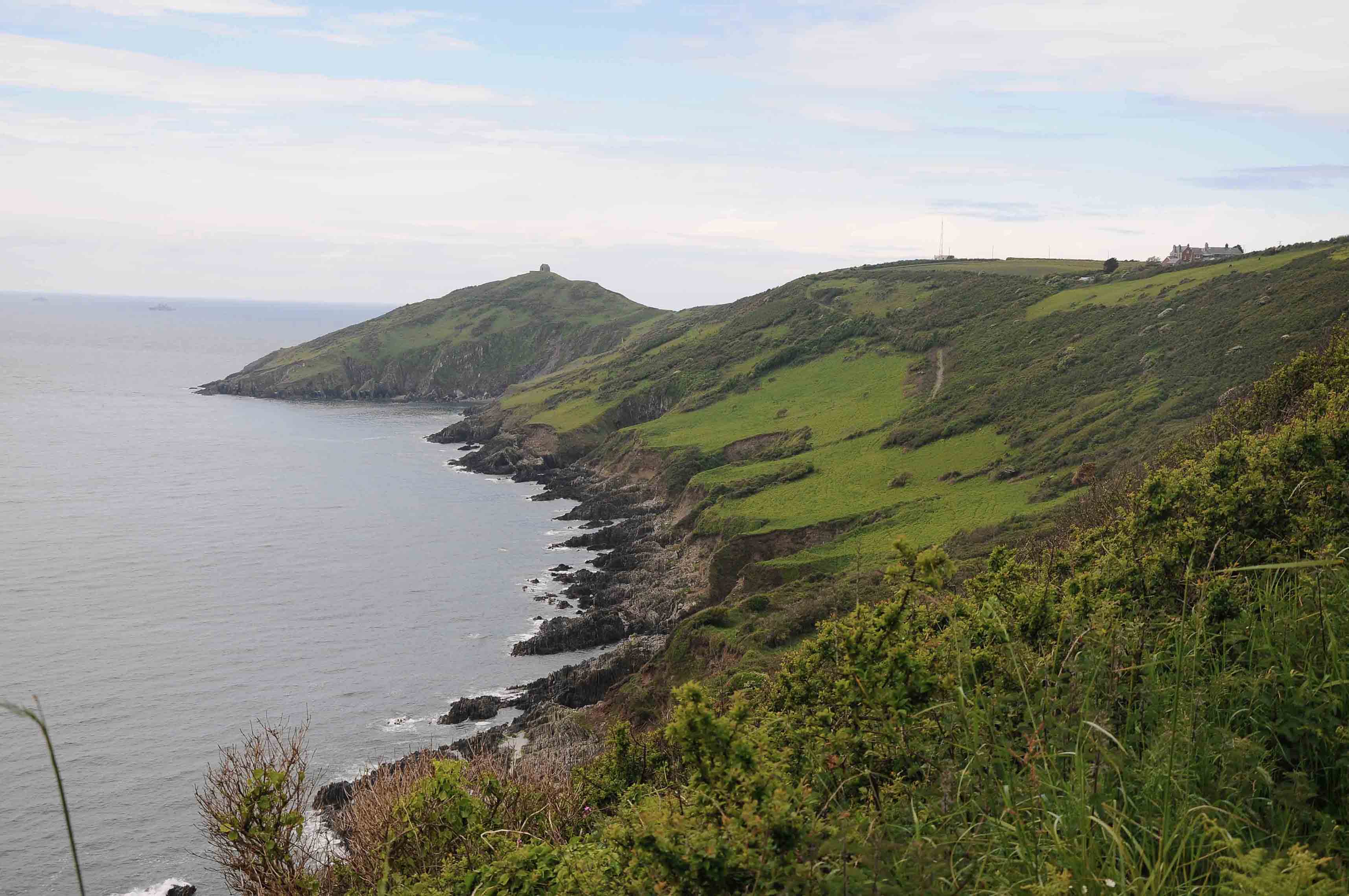
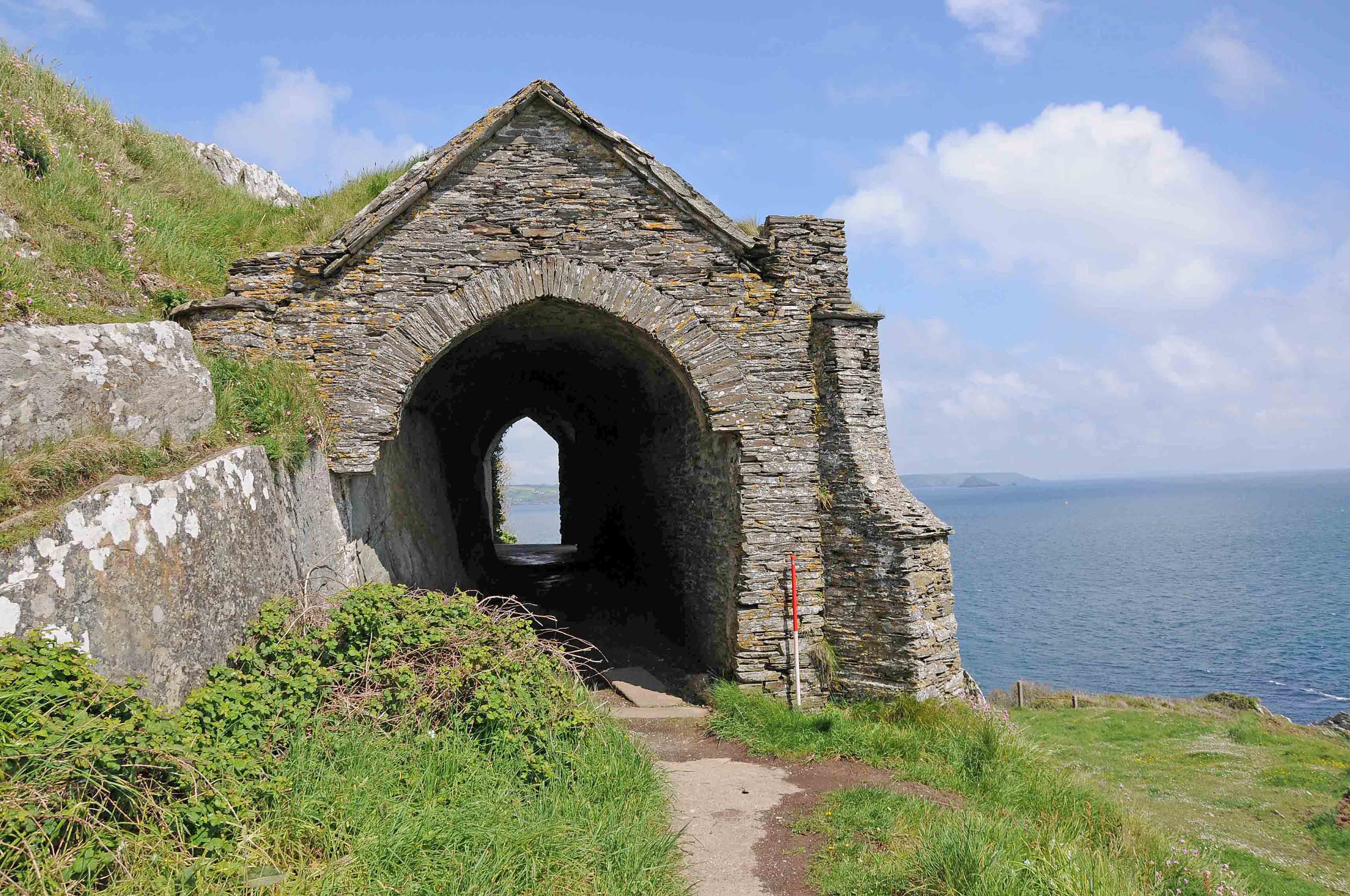
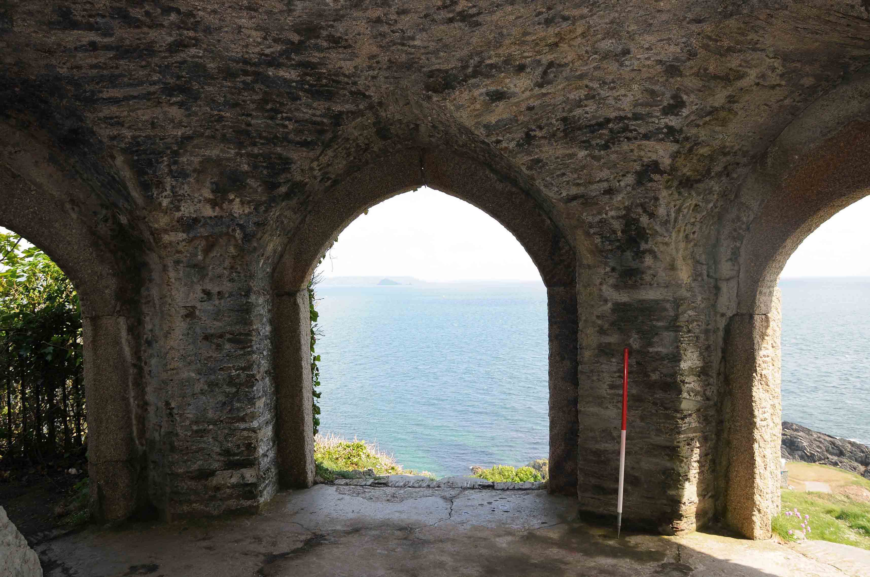
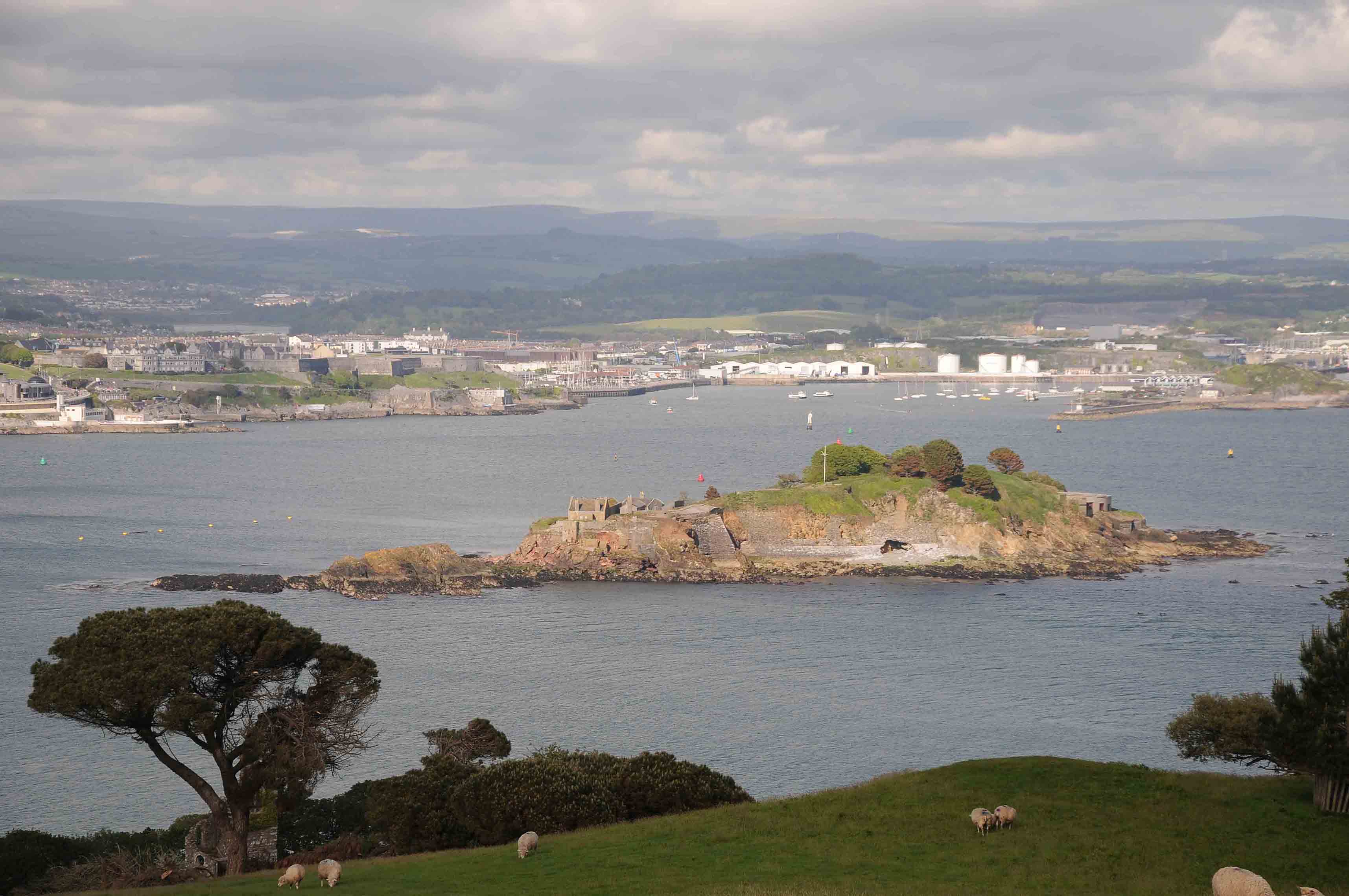
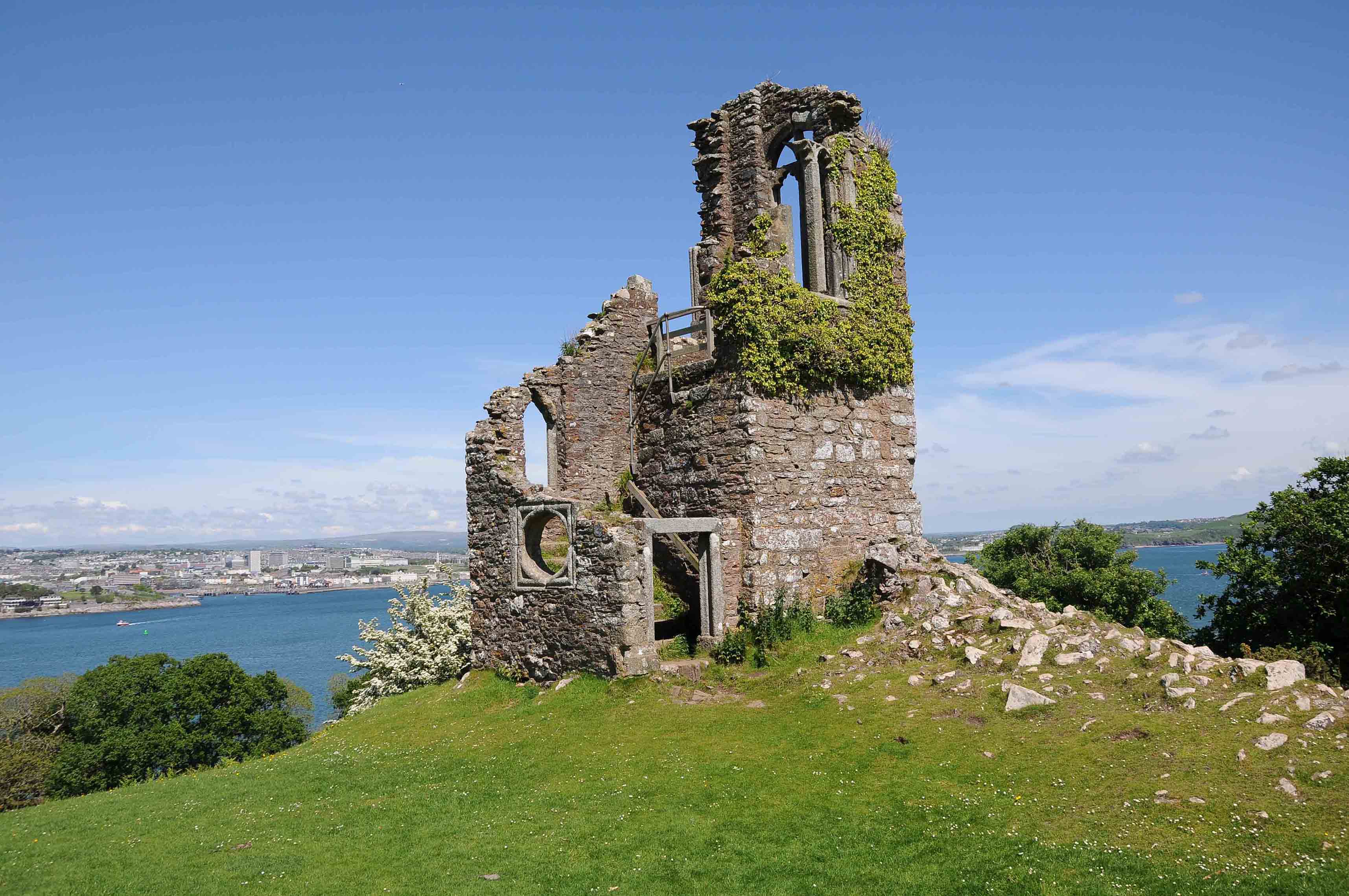
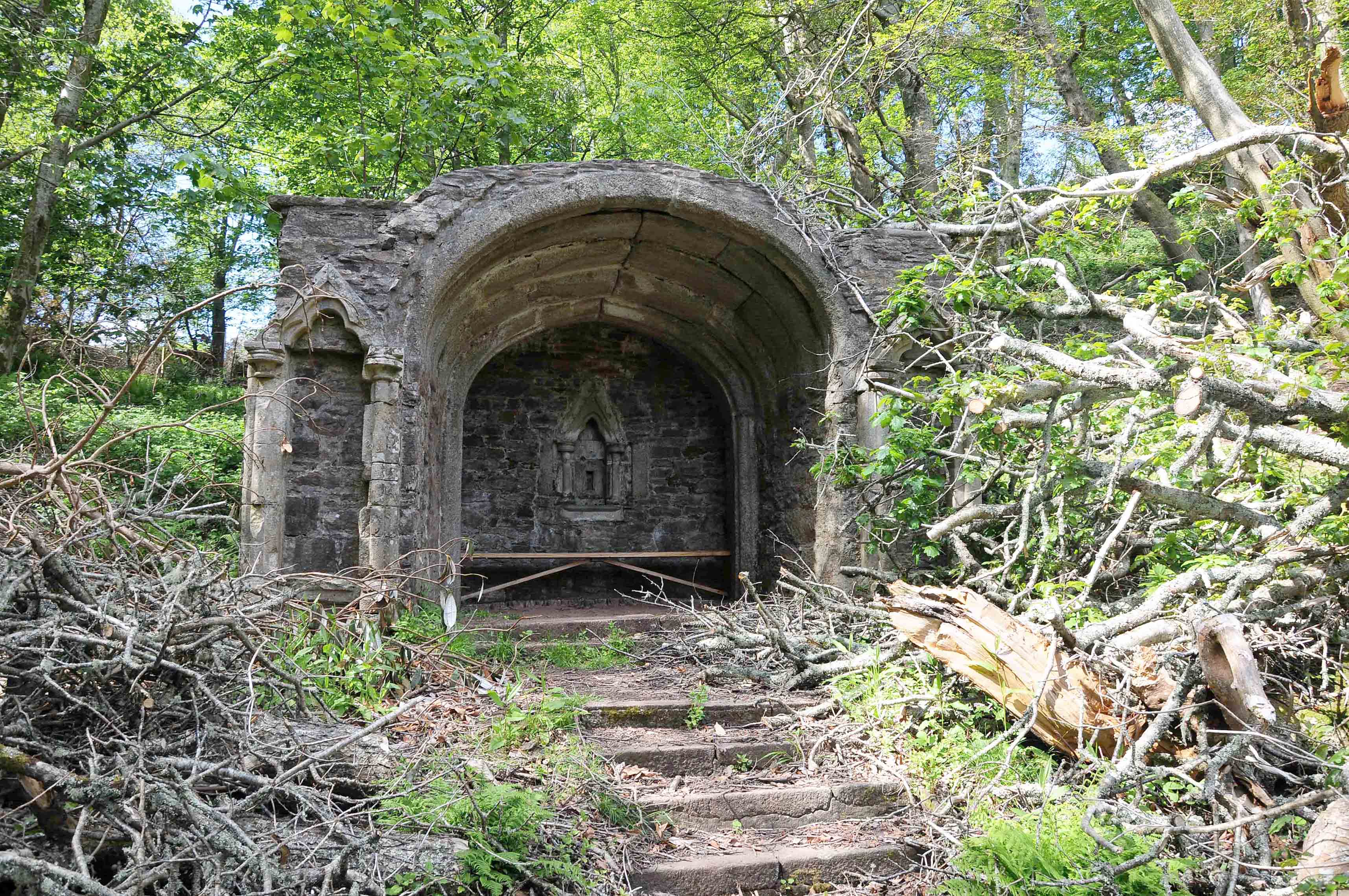
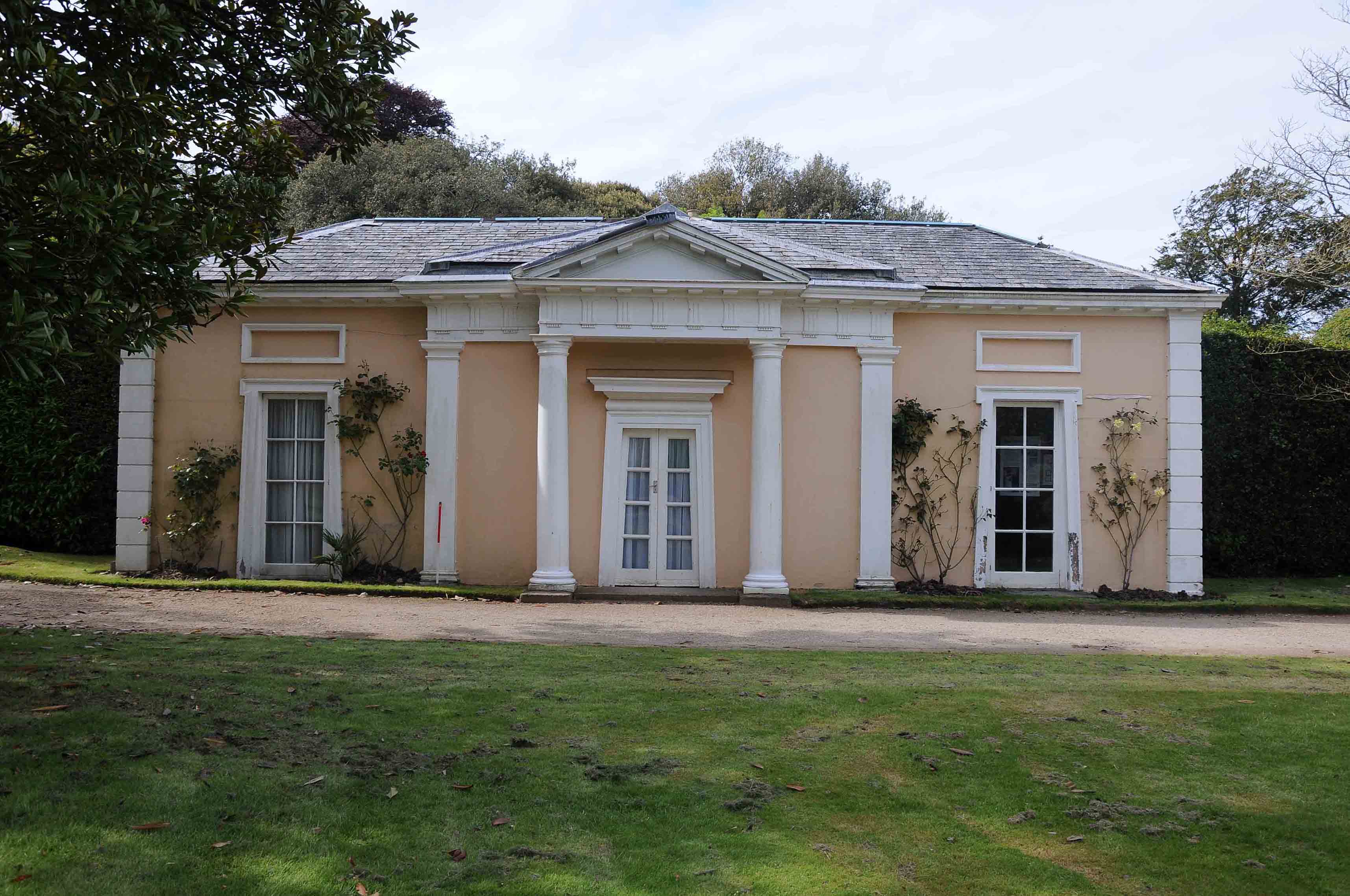
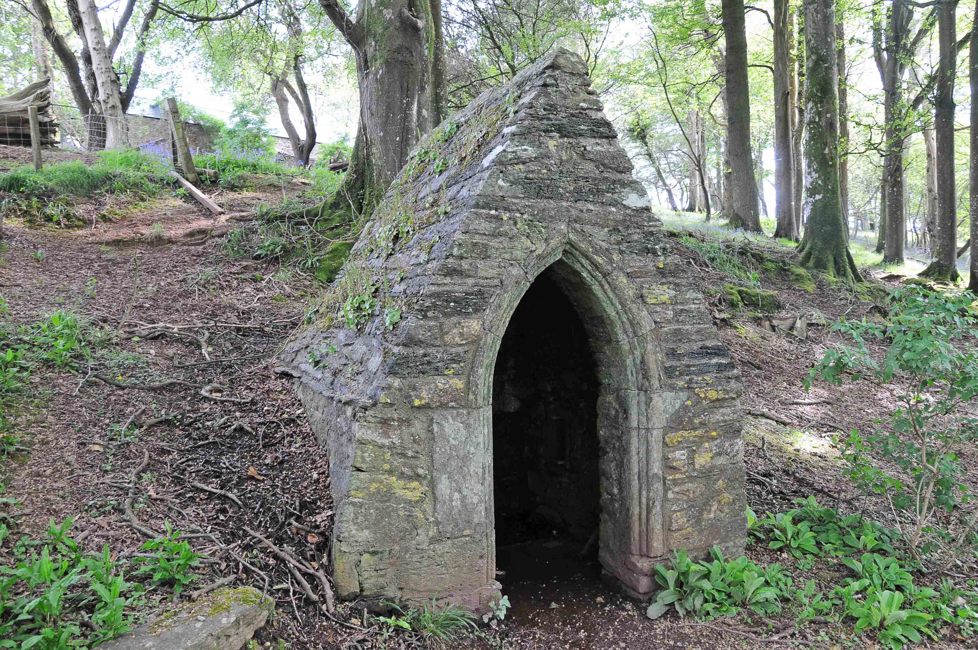
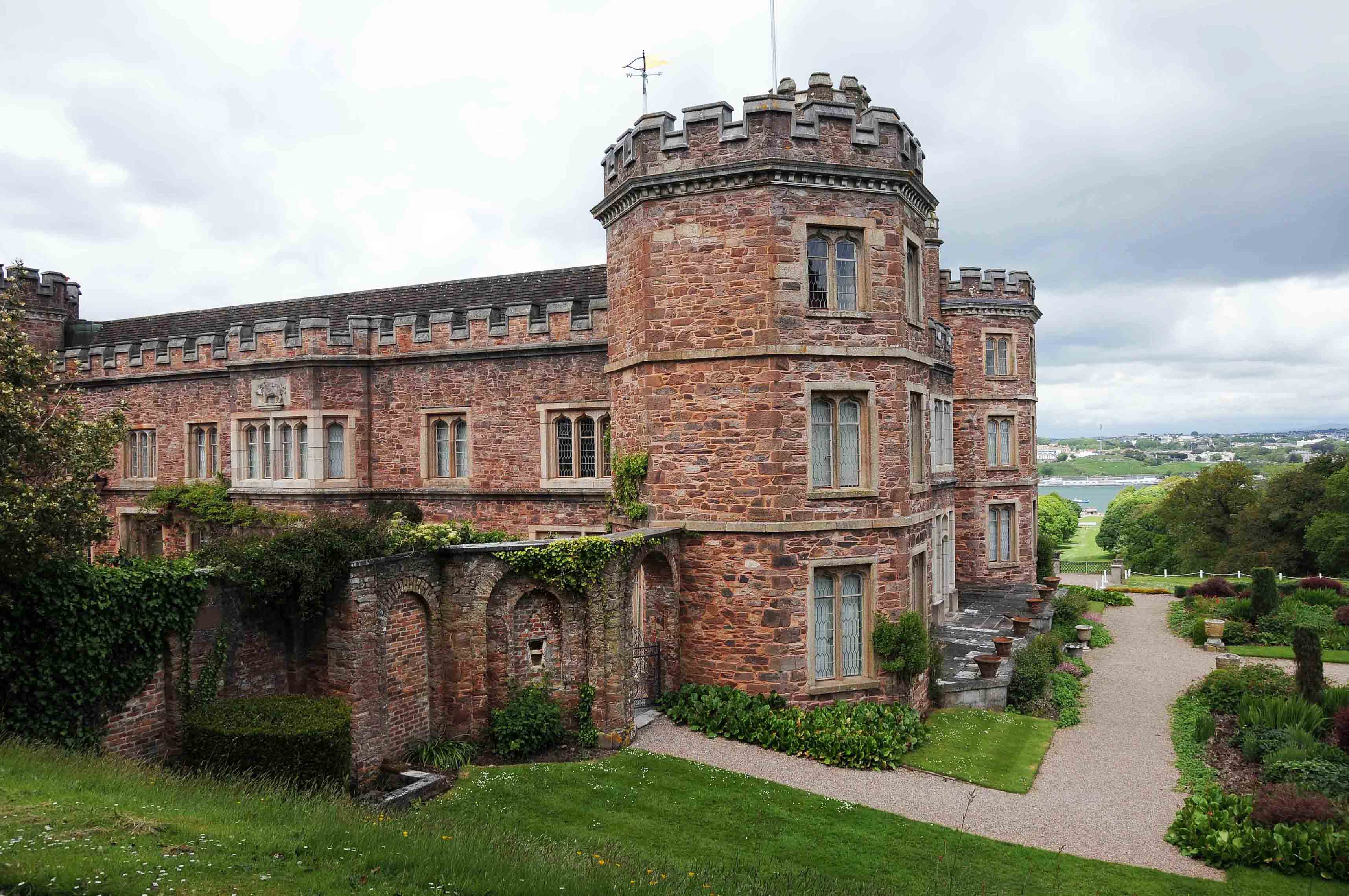
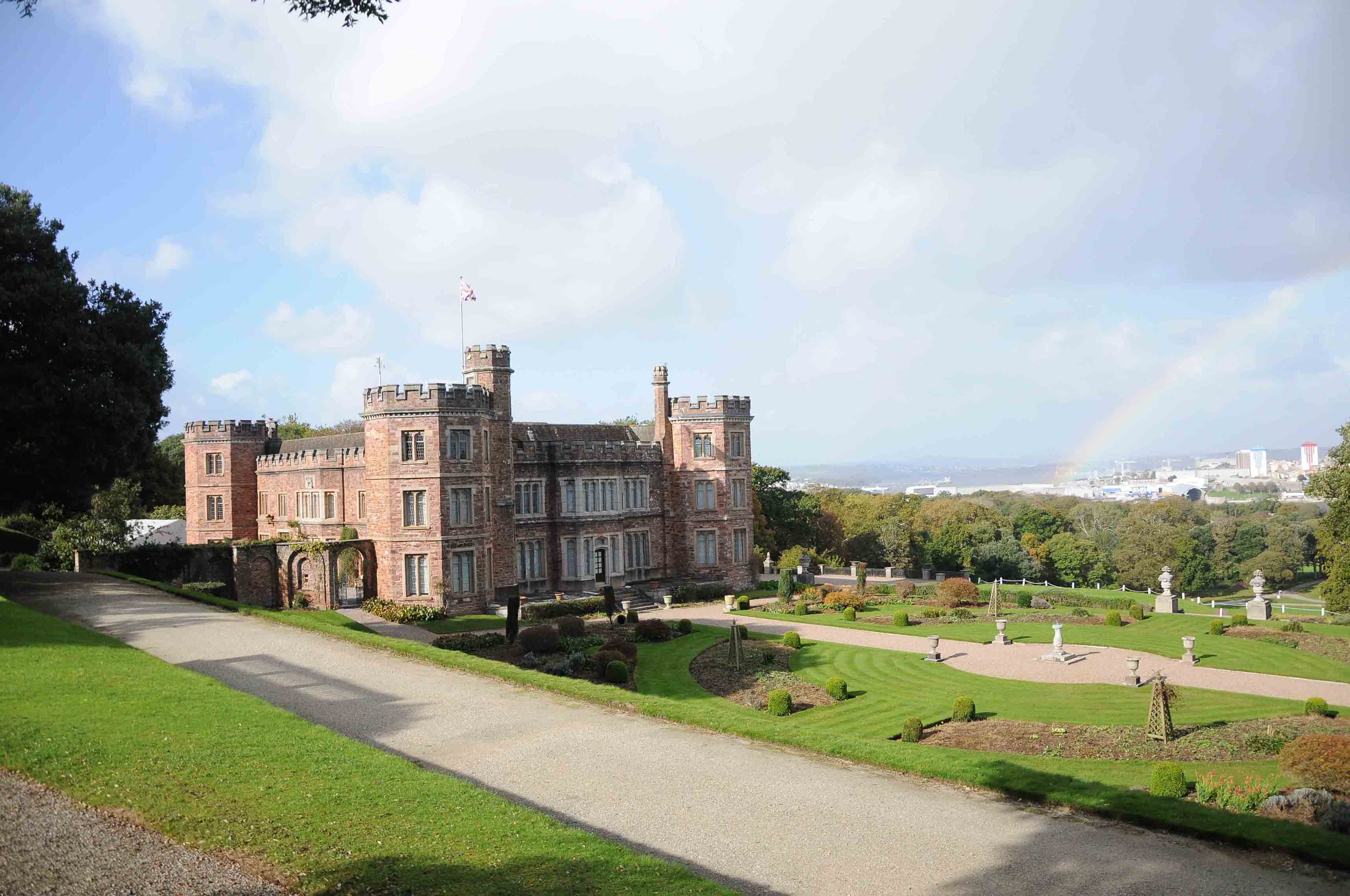
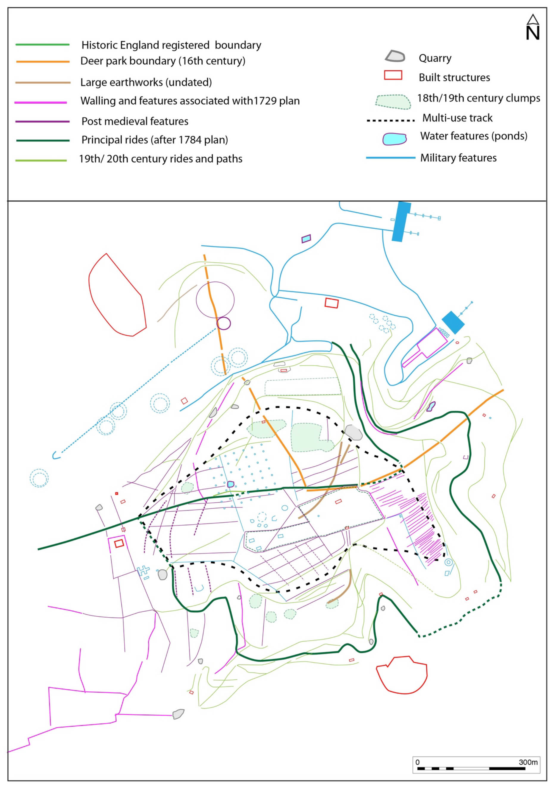
Mount Edgcumbe is an early 16thC park which was landscaped in the 18thC and E 19thC, together with gardens and pleasure grounds which were partly developed from late 17thC formal gardens. There is an extensive network of coastal rides leading to Penlee Point and Rame Head which incorporate a series of picturesque features and structures.
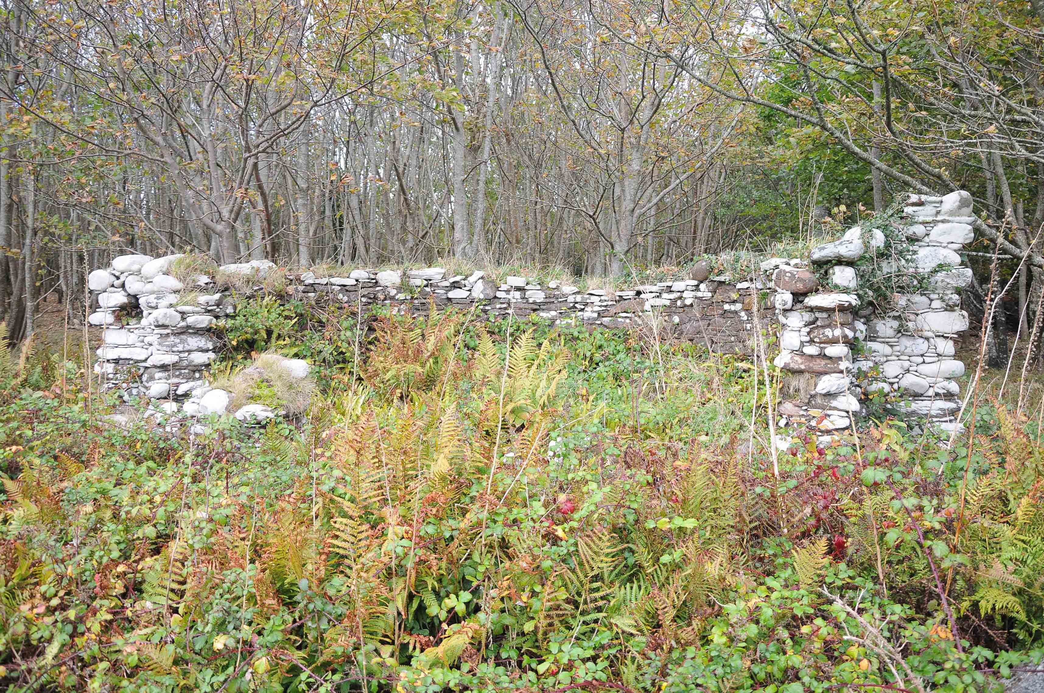
A total of 340 features, or sites of archaeological interest were identified from the Prehistoric to the modern period. The majority of the archaeological features that have been identified at Mount Edgcumbe are associated with the post-medieval adaptation and use of the landscape, these include the ornamental park, gardens and numerous buildings and structures associated with the gradual military occupation of the Estate culminating in the WW2 D-Day embarkation from Barn Pool.
Evidence was found for fishing, quarrying, lime kilns and agriculture, typical of coastal settlement along the South Cornish and Devon coastline. Close to the house there has been a large deer park since the 16thC, and was illustrated in 1540 on the Cotton MS in the British Library.
The scheme of research and investigations focused upon those areas where less previous research and study has been undertaken, which has resulted in very few new features being noted within the formal gardens, or areas of coastal walks that provide many of the dramatic views of the sea which makes the site unique.
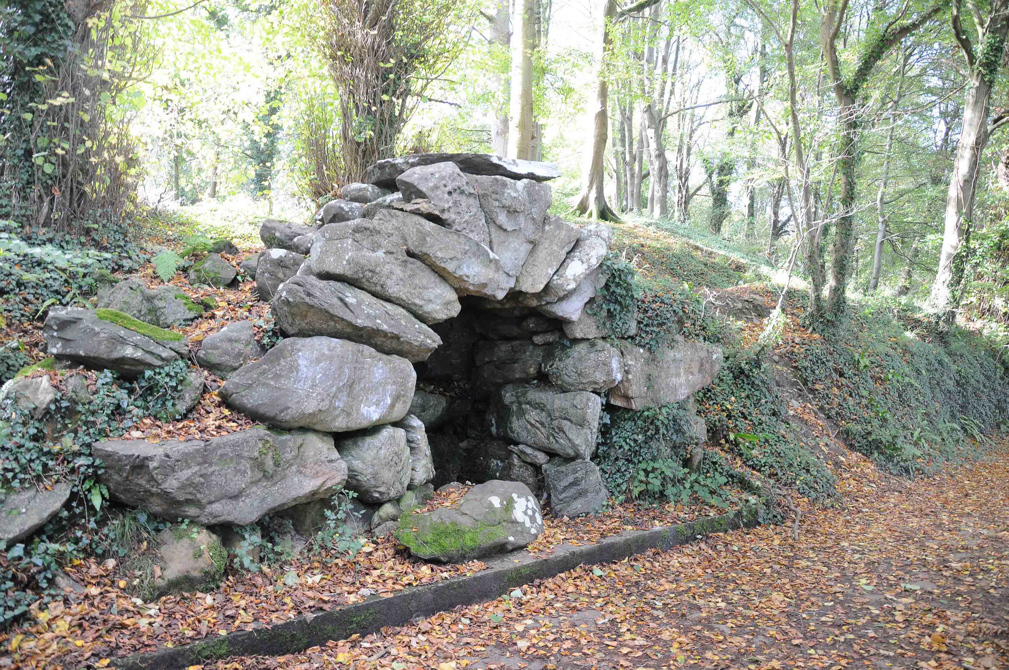
The barrow mound (a Scheduled Monument) was initially identified by O.G.S.Craword in 1929 as a possible Bronze Age burial mound, and surveyed by the RCHME in 1998.
The re-examination of the archaeological landscape has identified additional evidence that contradicts this previous interpretation, and it is suggested that it may actually date from the Tudor/Post-medieval period and was built as a viewing mount with a spiral walk.
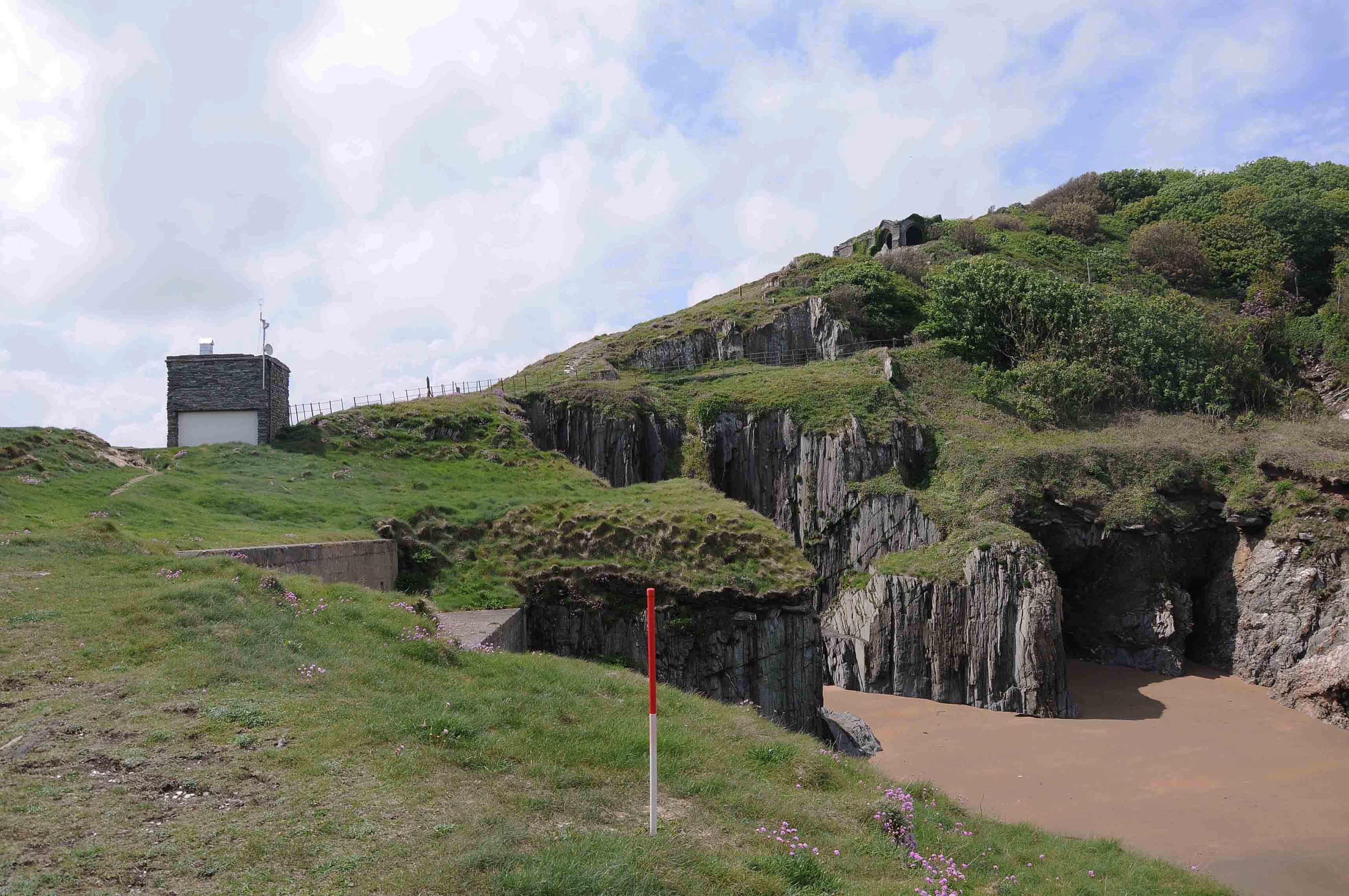
The defence of England has left a permanent mark on the Mt Edgcumbe, Penlee and Rame Peninsular since at least the 16th century, being in such close proximity to the Royal Naval dockyards at Plymouth. The earliest remains are a coastal battery known as the ‘Garden House’that was built c.1540. The Naval defences of Plymouth was dramatically strengthened in the 18thC when the Palmerston Fort were built in a huge defensive ring and at Mount Edgcumbe involved the construction of Picklecombe Fort, new batteries along the coast adjacent to Maker Heights at Maker Battery, Raleigh Battery, Hawkins Battery and new defensive batteries overlooking the Hamoaze. Along the Penlee peninsular a new battery and field finding station.
The Development of defensive positions across the estate continued during the early years and throughout WW1, with the final period of major adaptation of the garden and parkland landscape occurred during WW2 between 1939 and 1945. Mount Edgcumbe was one of the D-Day embarkation points or hards (Site PP1 at Barn Pool and Site PP3 at the Amphitheatre) and the remains of the network of concrete roads from this event still survive and form an important layer of the archaeological landscape within the gardens.
Scope of work: archive research, appraisal of historic landscape, field survey, Lidar analysis, aerial photography analysis