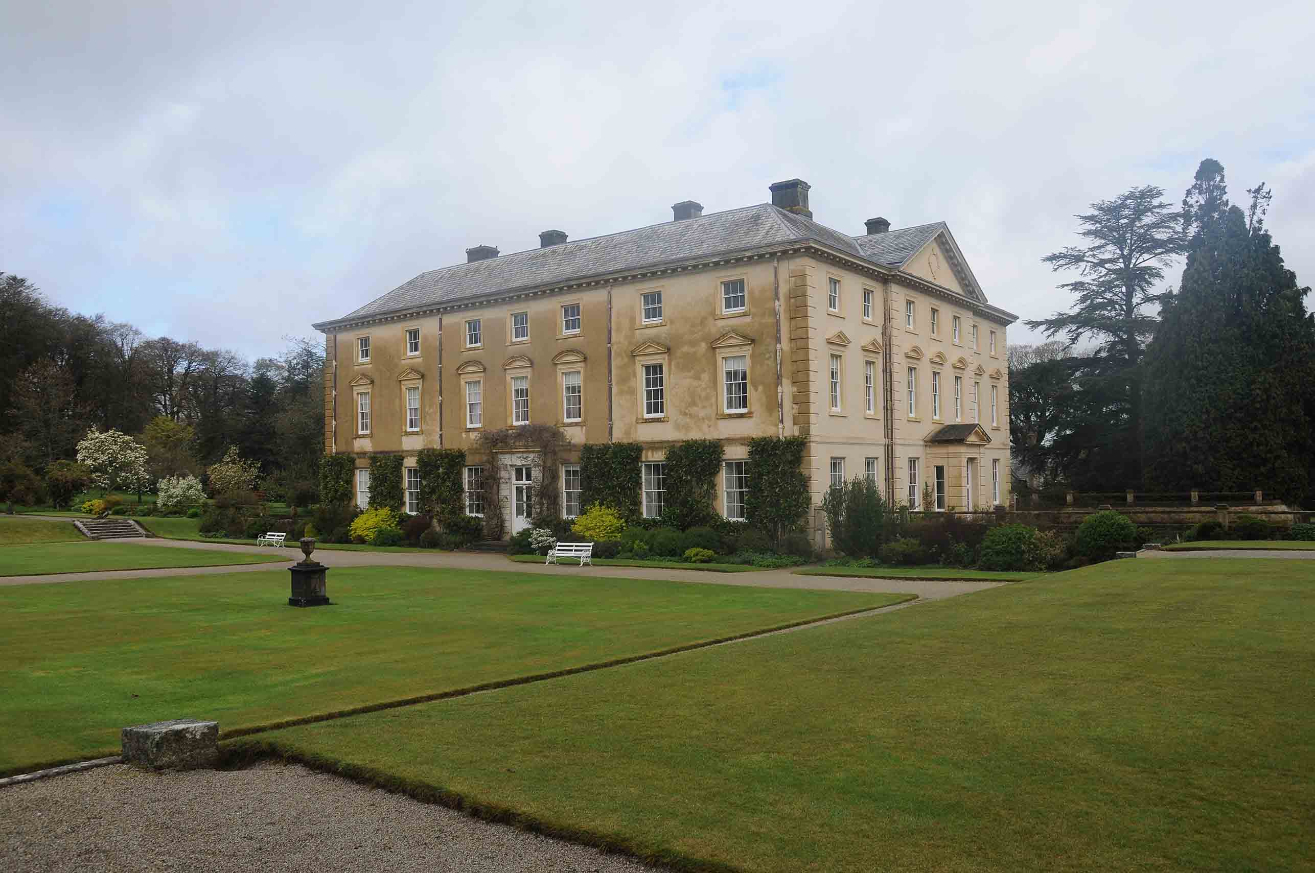
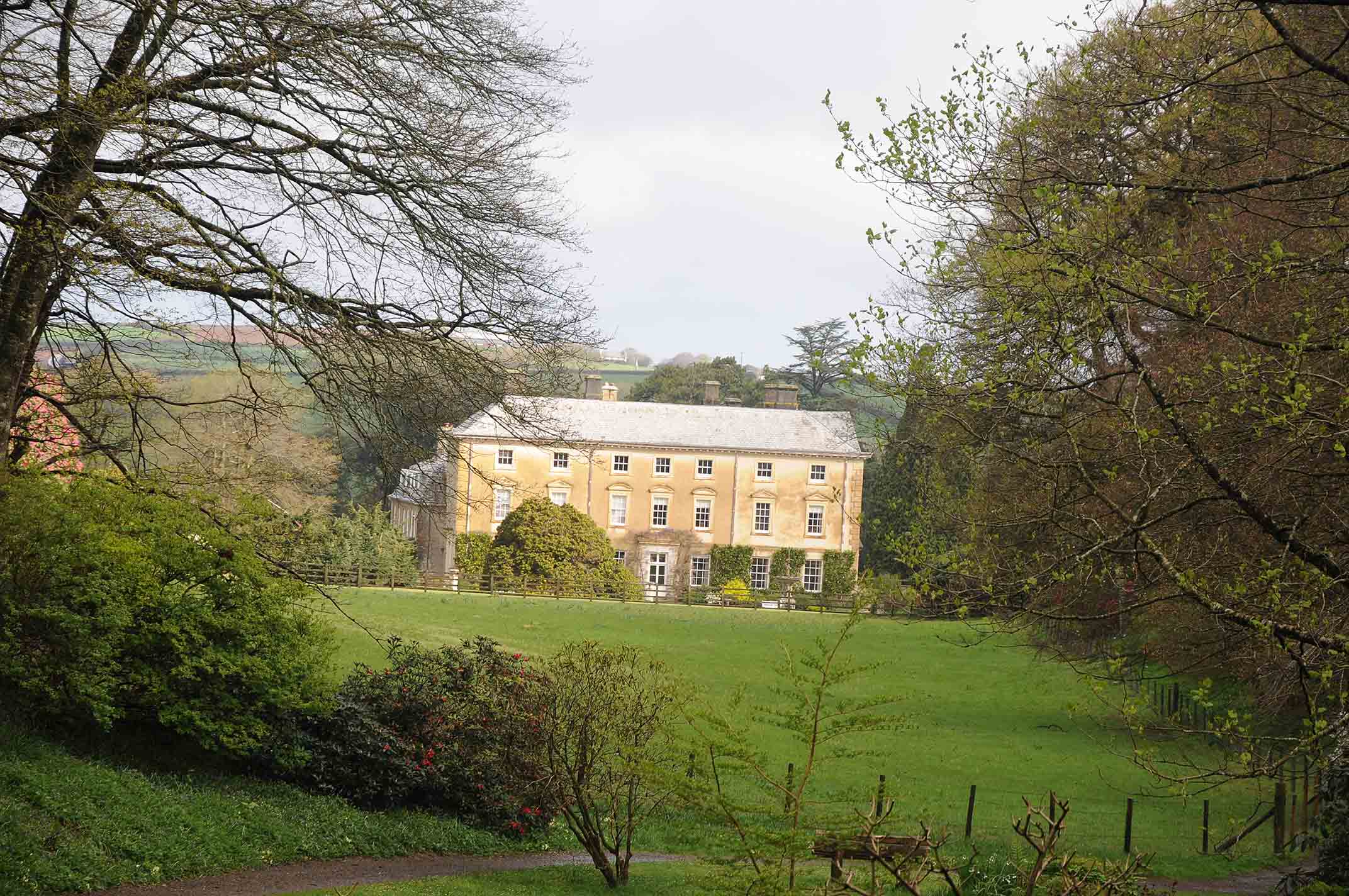
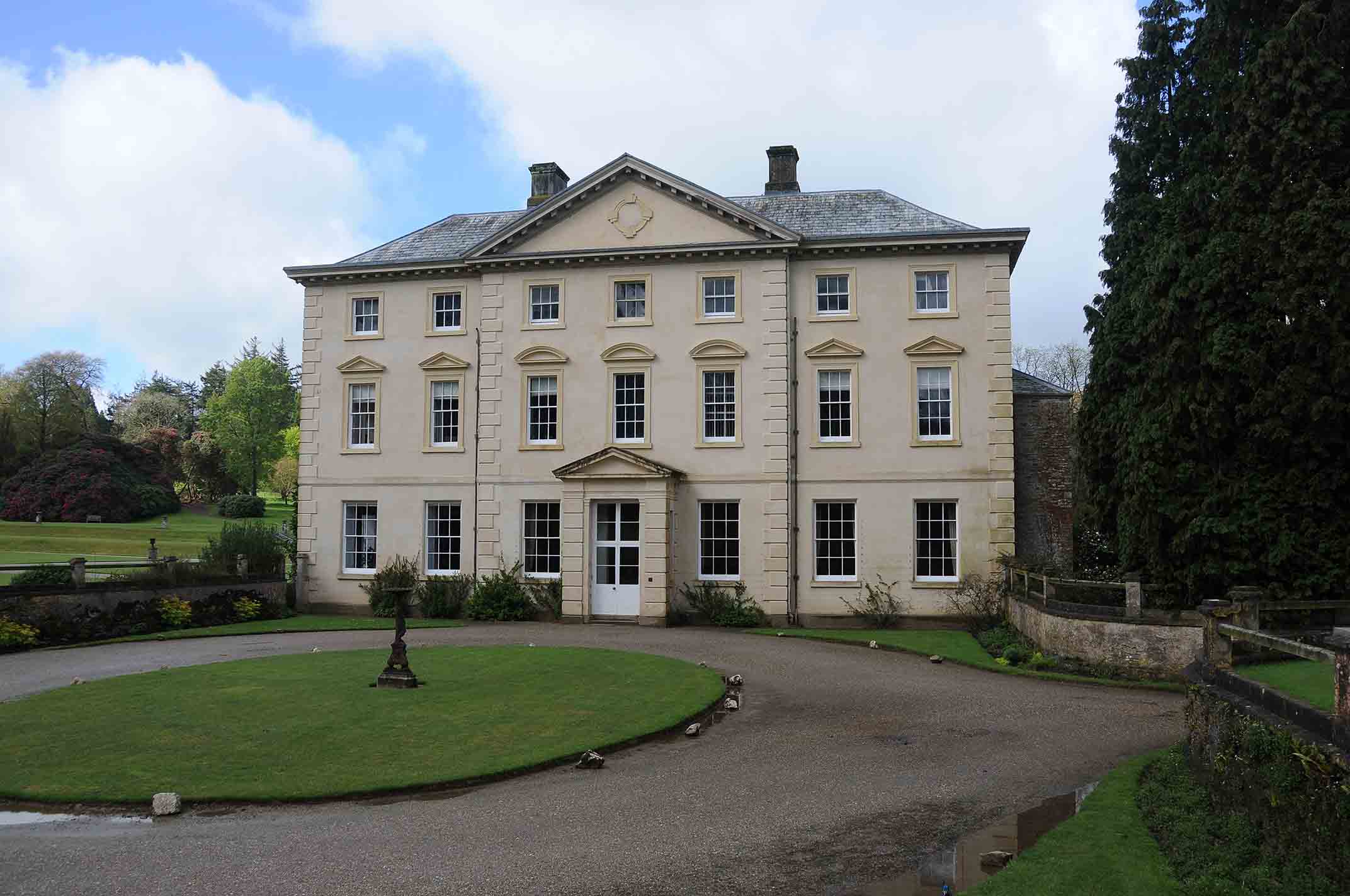


Pencarrow House,
Egloshayle, Cornwall
Grade II* Listed Building (NHLE: 1311084); Grade II Listed Buildings (NHLE: 1143053; 1159302; 1327955) Grade II* Registered Garden (NHLE: 1000652); Scheduled Monuments (COR287 NHLE:1004488; COR234)
Desk-based Research, Lidar analysis, Earthwork Survey
OASIS: thejesso1-177407
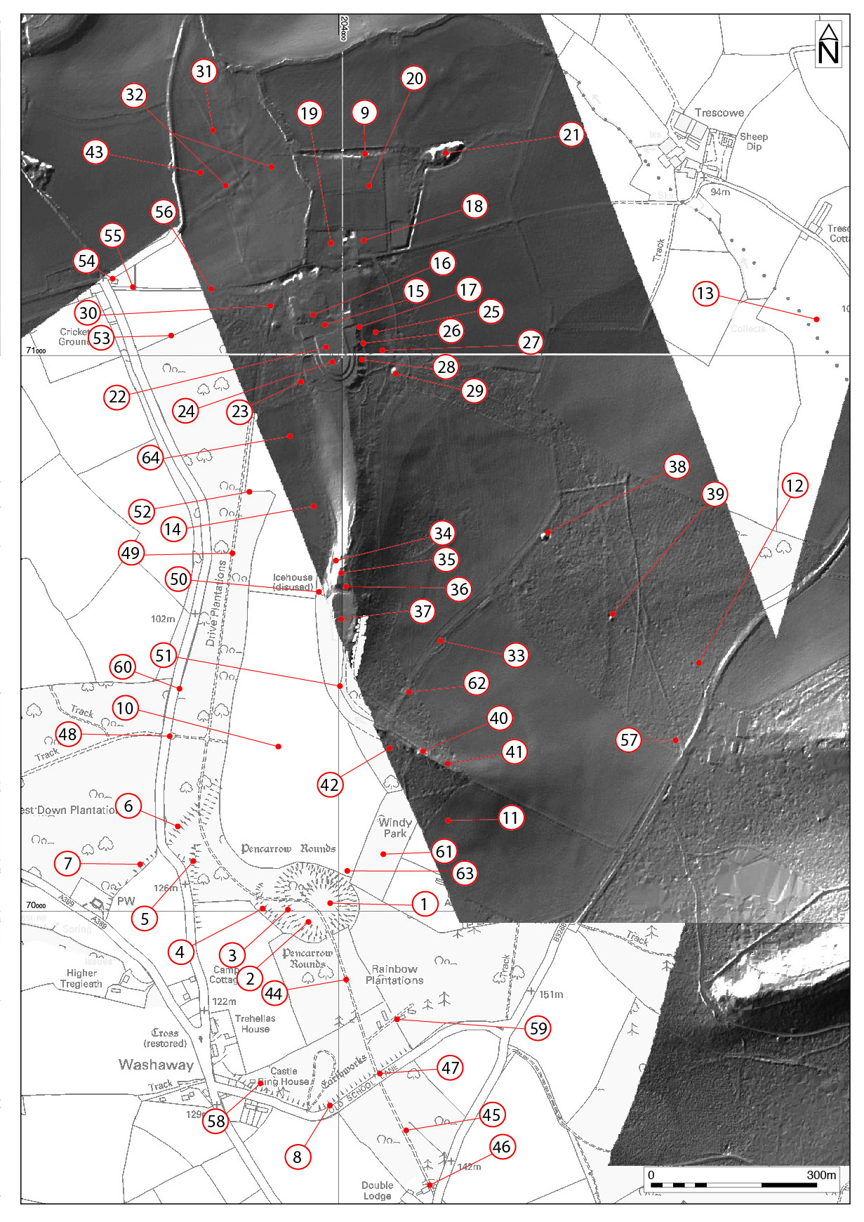
The JESSOP Consultancy formed part of a multidisciplinary team to prepare a Parkland Management Plan for the Pencarrow Estate, Cornwall. A total of 65 features, or sites of archaeological interest were identified and recorded, making use of Lidar, archive research and site survey. The archaeological remains dated to the following periods: Iron Age – Romano British; Post medieval - 17th to 18th century, 19th century, and 20th century.
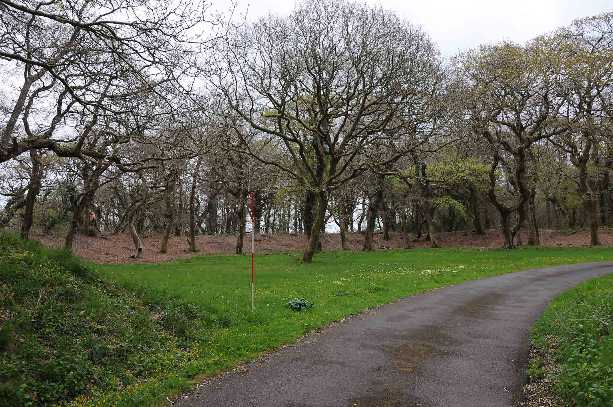
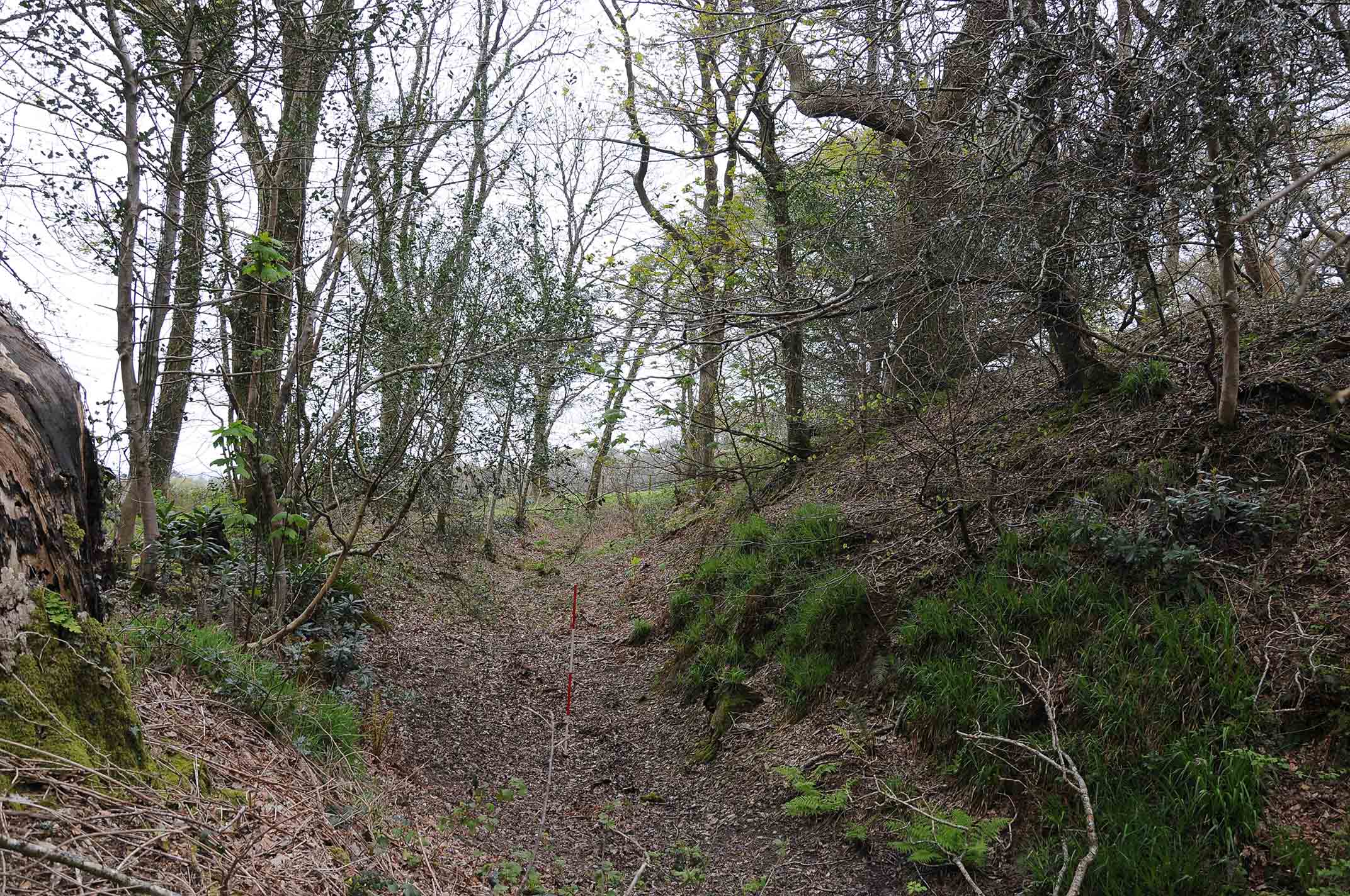
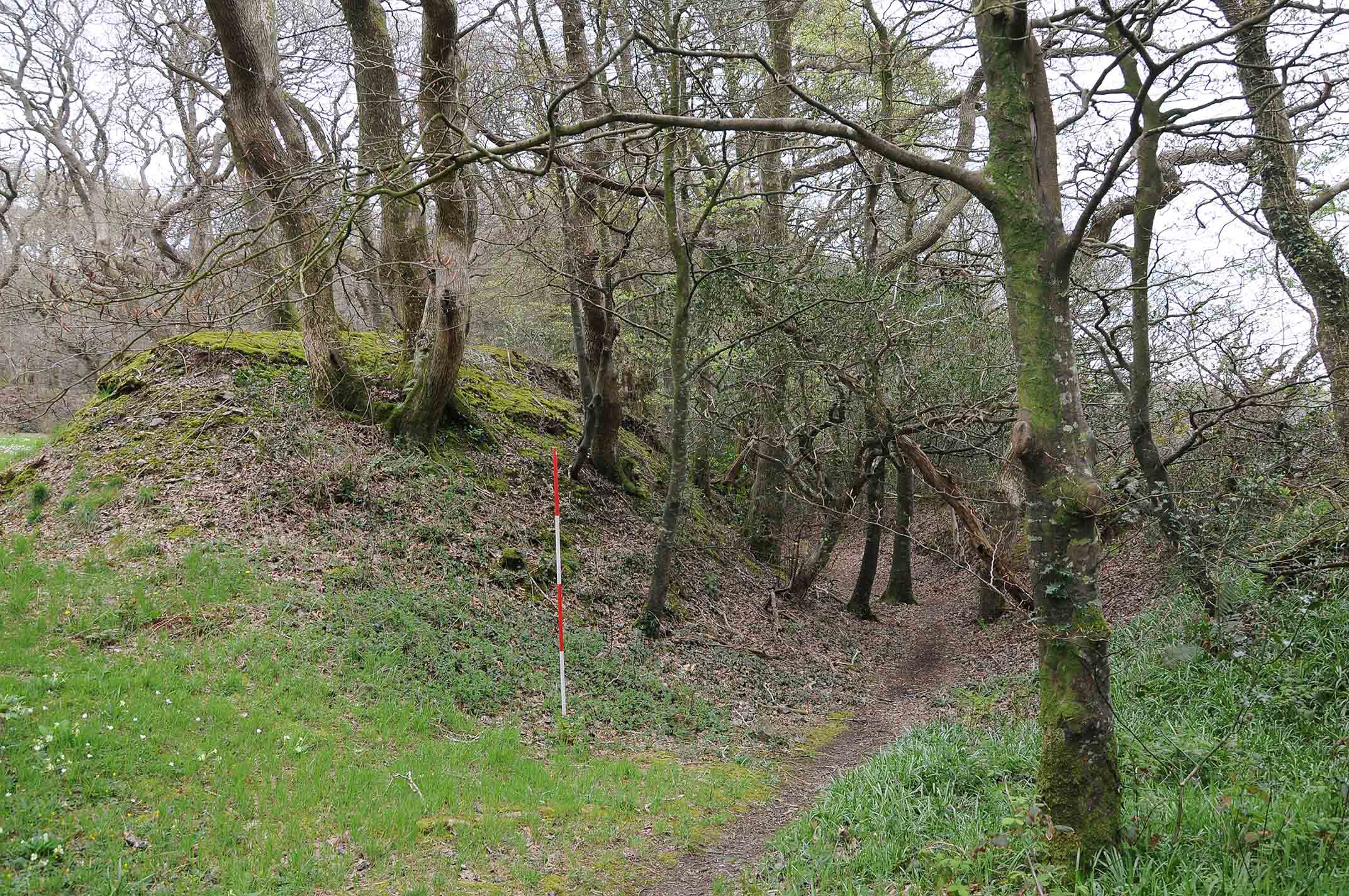
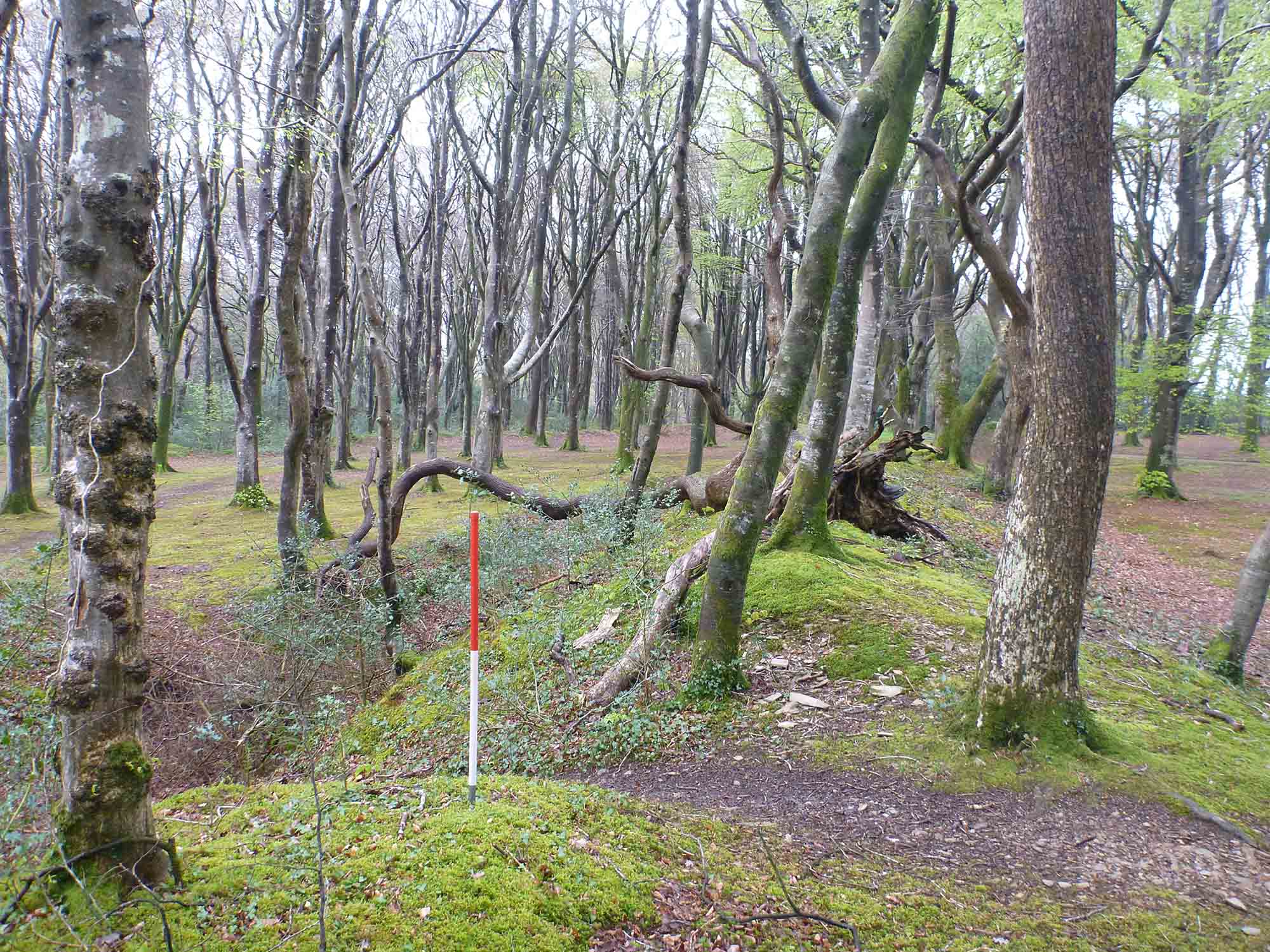
The landscape at Pencarrow and the surrounding districts are known to have been occupied during the iron Age-Romano British periods as numerous site such as defended farmsteads, or rounds, with associated field systems and track ways have been previously identified on aerial photographs. At Pencarrow the principal feature is the upstanding double ditched enclosures, known as the Rounds. The morphology of the site is consistent with others within Cornwall dated to the late Iron Age, and their use is often attributed to have been as a defended settlement.
The Rounds have a sub-rounded inner bank and ditch, which is enclosed by a larger egg shaped outer bank and ditch. The monument has been truncated by the insertion of carriage drive in the 1850s. Protecting the entrance is an L-shaped bank and ditch which, is interpreted as being a secondary feature and not part of the original design. There is another large curved bank and ditch to the northwest, and which it has been recently identified continues as an cropmark feature on aerial photographs to form an outer enclosure of c.33ha (0.3km2) in size with the Rounds in the center on an area of high ground.
Two further features that may be contemporary with and the enclosures, trackways and round houses at, are two sub-rounded enclosures in northeast section of Trescowe Brake identified as possible features on the Lidar survey.
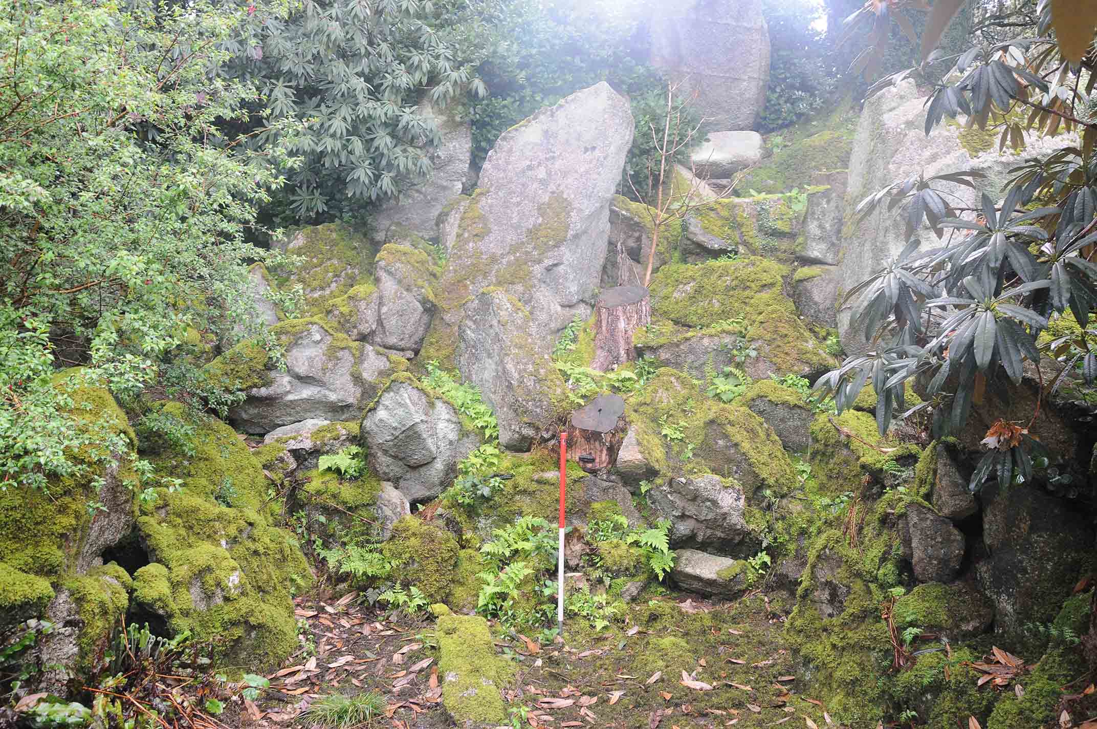
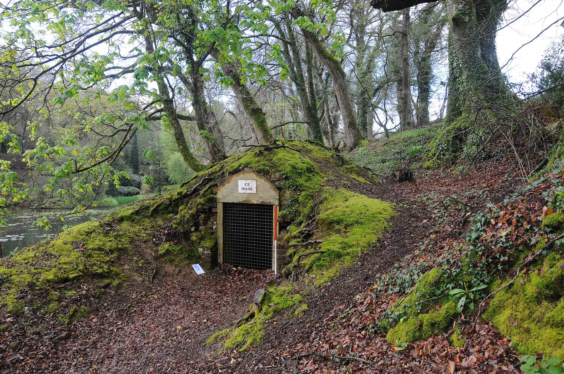
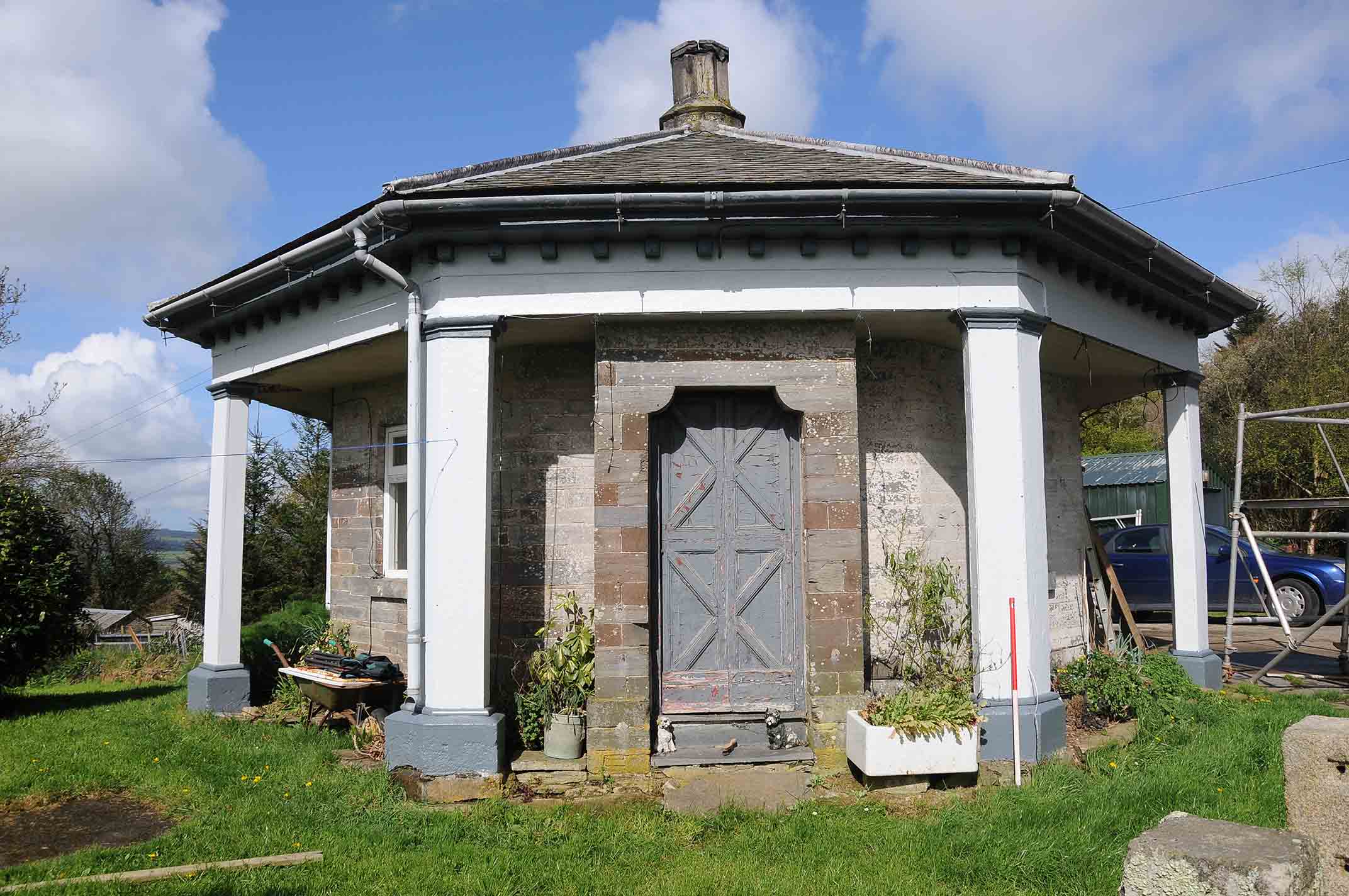
The impact of the later 19th century re-modeling of the gardens at Pencarrow have either removed, or masked evidence for earlier garden layouts in the immediate proximity of the house. The majority of the gardens around the House, are walks that form the American Gardens and the plantations along the drives. They include perhaps the earliest monkey puzzle avenue in Britain and a very early example of a rockery. Additional features within the proximity of the house include a possible bowling green.
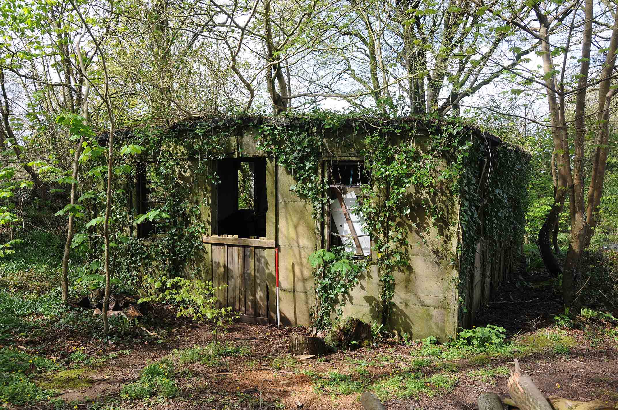
Remains from military activity during the WWII comprises of a group of four Nissan huts, and associated bases and footings on the east side of the entrance drive leading up to the Rounds in the Rainbow Plantations, along with a previously unidentified group of remains in the southeast corner of the Windy Park.
Scope of work: archive research, reappraisal of archaeology; analytical earthwork survey, lidar analysis